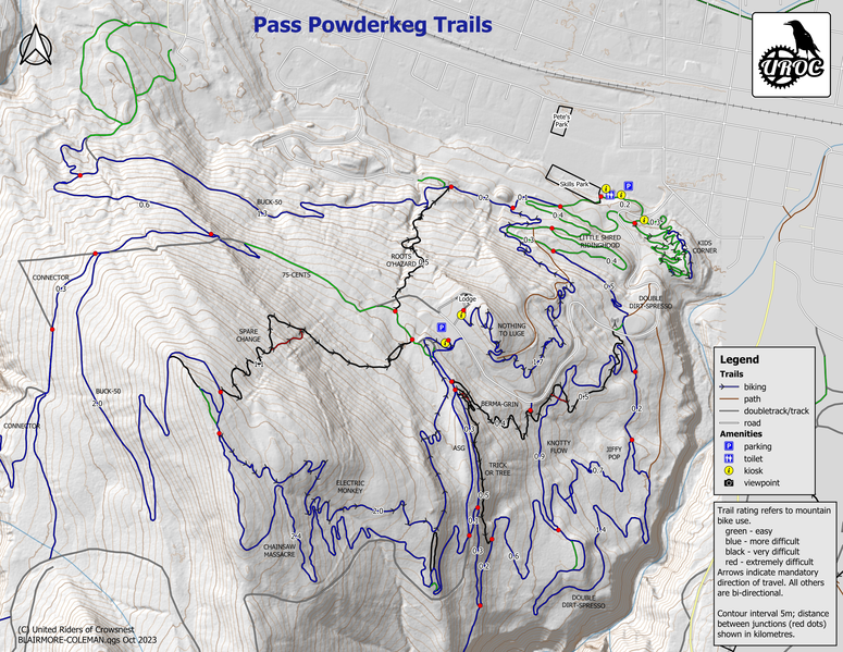
Pass Powderkeg Mountain Bike Trails
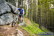
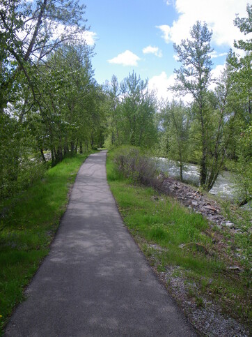
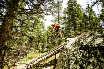
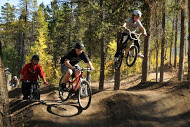
Pass Powderkeg is a great place to go for a ride. Trail construction is underway with numerous trails already in place. From beginner to expert, single track, cross-country or to our Jay Hoots Designed Bike Park – we have you covered. Check out our Master Plan Trail Map for more information. No services or uphill transport provided.
www.uroc.ca United Riders of Crowsnest